









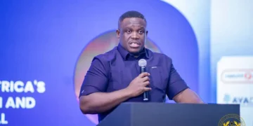


A Geographic Information Systems (GIS) Consultant for the Marine Spatial Planning (MSP) Project, Mr Richard Adade, has called for urgent adoption of structured marine spatial planning to better manage competing activities along Ghana’s coastal and ocean spaces.
He explained that increasing pressure from fishing, shipping, oil exploration, and tourism activities is making Ghana’s marine environment more congested, raising the risk of conflict and environmental degradation if not properly coordinated.
Mr Adade made the remarks at a stakeholder workshop organised by the Fisheries Committee for the West Central Gulf of Guinea, which brought together experts and members of the Marine Protected Areas Technical Advisory Group to review data and strengthen collaboration.
The engagement focused on validating existing datasets, improving data-sharing systems, and securing stakeholder commitment to support the development of a national marine spatial plan.
He noted that the project is also exploring Payment for Ecosystem Services (PES) and Nature-Based Solutions as part of efforts to promote sustainable marine resource management.
According to him, one of the major challenges facing the initiative is the limited availability and accessibility of reliable data, particularly from public institutions.
Mr Adade stressed that marine spatial planning depends heavily on accurate information, including data on biodiversity hotspots, fish stocks, and artisanal fisheries, which are often incomplete or difficult to obtain.
He added that the pilot phase currently underway in Ghana’s Western Region will help generate lessons for broader national implementation.
Stakeholders at the workshop, he said, have pledged support for the project, including improved data sharing and active participation to strengthen planning processes.
Mr Adade expressed optimism that sustained collaboration among institutions will help Ghana develop a more organised and sustainable approach to managing its marine resources.